Death Valley National Park 2024 Travel Guide
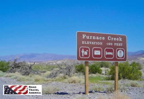 Furnace Creek in Death Valley National Park ... elevation minus 190 feet Furnace Creek in Death Valley National Park ... elevation minus 190 feet |
Death Valley is the largest U.S. National Park outside Alaska, spanning 3.4 million acres. The park includes low valley floors crusted with barren salt flats, rugged mountains rising as much as 11,000 feet, deep and winding canyons, rolling sand dunes, and spring-fed oases. New visitors to the park always ask these questions ...
Where is Death Valley National Park?
The park is located in California, about 140 miles northwest of Las Vegas, Nevada, and 280 miles northeast of Los Angeles, California.
How big is Death Valley?
Death Valley is about 140 miles long, from the head of Last Chance Canyon in the north to where the Amargosa River makes its big bend near Saratoga Springs in the south.
Is it true that Death Valley is below sea-level?
Badwater Basin, at 282 feet below sea level, is not only the lowest place in the park, it's the lowest in North America. It is located 18 miles south of the Furnace Creek Visitor Center on the Badwater Road (CA 178).
| NOTE: Heavy rains in August of 2023 have caused significant road damage in the park. Be sure to check for current conditions at the Death Valley National Park official website - National Park Service |
What is the weather like in Death Valley?
Death Valley is the hottest and driest place in North America because of its lack of surface water and its low relief.
On the afternoon of July 10, 1913, the United States Weather Bureau recorded a high temperature of 134F at Greenland Ranch (now Furnace Creek) in Death Valley. This temperature stands as the highest ambient air temperature ever recorded at the surface of the Earth.
Access to Death Valley
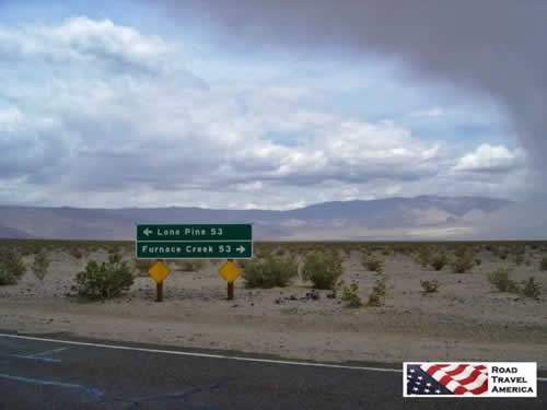
There are two major valleys in the park, Death Valley and Panamint Valley. The park is transected from east to west by California Highway 190.
On the east in Nevada, Highway 95 parallels the park from north to south with connecting highways at Scotty's Junction (State Route 267), Beatty (State Route 374), and Lathrop Wells (State Route 373).
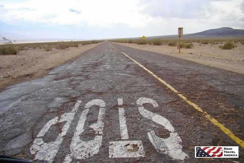
STOP! Intersection of two remote roads in
Death Valley National Park in California
Lodging and Camping Options in and near Death Valley National Park
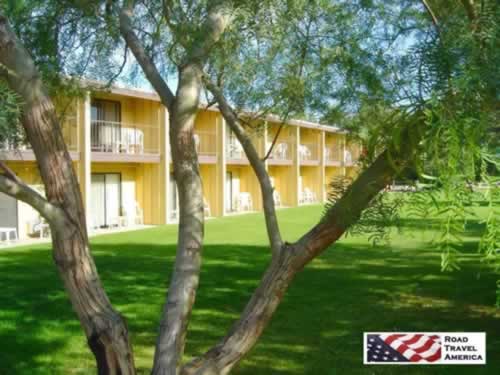 The Ranch at Death Valley, formerly the Furnace Creek Ranch, in Death Valley National Park The Ranch at Death Valley, formerly the Furnace Creek Ranch, in Death Valley National Park |
There are nine designated campgrounds within the park, and overnight backcountry camping permits are available at the Visitor Center.
When picking a place to sleep, visitors should consider the location of the lodging and what parts of the park they want to visit. Distances are great.
Lodging options in the park include:
- Stovepipe Wells Village - offers resort accommodations and limited recreational vehicle camping with full hookups in the Stovepipe Wells area. Call 760.786.2387 or visit the Stovepipe Wells Village website for information and reservations.
- The Oasis at Death Valley - Includes two facilities: The Inn at Death Valley, and The Ranch at Death Valley (formerly Furnace Creek Ranch). Visit the Oasis at Death Valley website for information and reservations, or call 800.236.7916.
- Panamint Springs Resort - The private Panamint Springs Resort offers resort accommodations and camping. Call 775.482.7680, or visit the Panamint Springs Resort website for information.
On our most recent trip to Death Valley, we stayed at the former Furnace Creek Ranch and dined at the Wrangler Buffet and Steakhouse on the same property.
There are a few motels near various entrances to the park, in Shoshone, Death Valley Junction, Beatty, Nevada, and Panamint Springs. Reviews of area hotels at TripAdvisor are included below.
Lodging in Las VegasVisiting Death Valley and staying in Las Vegas? Lodging East of the ParkBeatty, Nevada Lodging West of the ParkLone Pine, California |
The Inn at
Death Valley

 |
Getting Around Death Valley National Park
Travel around the park is available by automobile, four-wheel drive vehicle, bicycle, motorcycle, mountain bike (on established roadways only), hiking and jeep tours.
Driving distances between sightseeing and lodging can be long, so plan accordingly.
State Route 190, the Badwater Road, the Scotty's Castle Road, and paved roads to Dante's View and Wildrose provide access to the major scenic viewpoints and historic points of interest.
There are more than 300 miles of paved roads, 300 miles of improved dirt roads and several hundred miles of unmaintained 4x4 roads in Death Valley National Park.
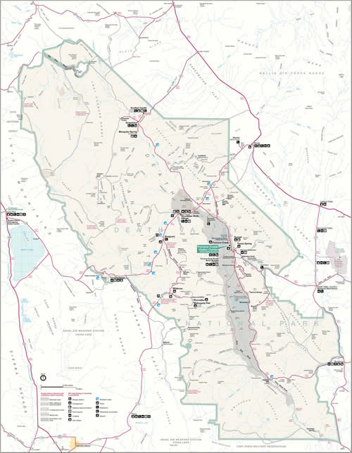
Map of Death Valley National ParkDistances are great in the Park! |
From the National Park Service (click for larger image) |
Interactive Map of the Death Valley National Park
What Weather to Expect in Death Valley
Death Valley is hot, and dry. Conditions can change quickly with inclement weather, so visitors should always check for current conditions before taking backcountry roads.
Storm clouds and rain settle in over
Death Valley National Park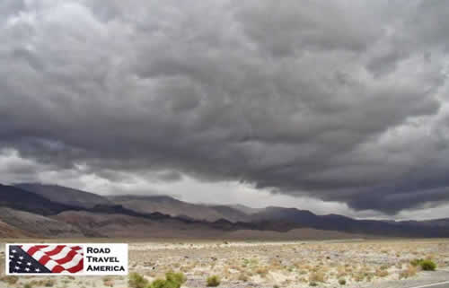 |
Dust storm winds send sand blowing
across the road 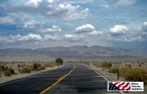 |
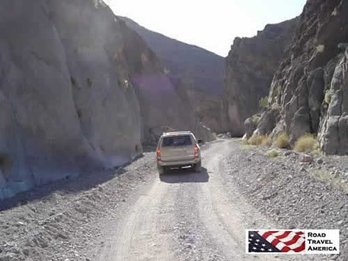
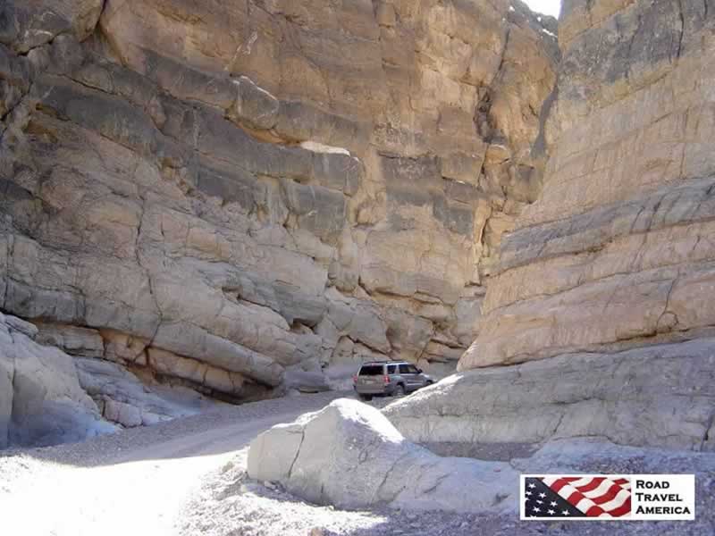
The narrow passage between towering rocks
in Titus Canyon Road in Death Valley National Park
More Death Valley Photos from our Trips to the Park
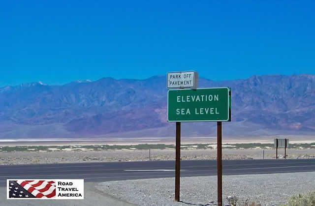
Death Valley National Park in California
... Elevation Sea Level
Sign warning of flash floods in Death Valley National Park, next 55 miles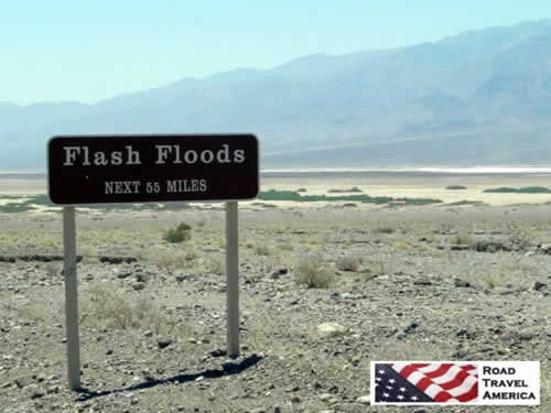 |
Leadfield ghost town in Death Valley National Park, closed in 1927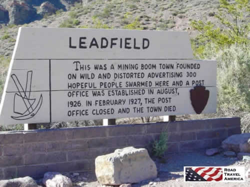 |
Sign in Death Valley National Park:
Avoid Overheating - Turn Off A/C - Next 20 Miles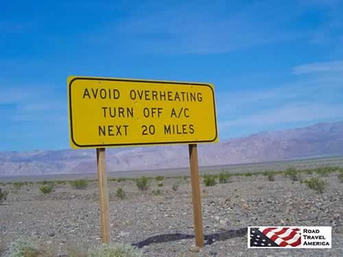 |
Artists Palette in California's Death Valley National Park
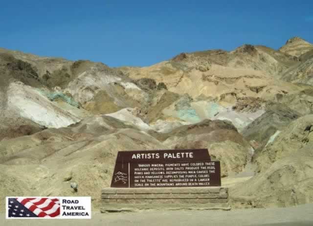
| Entrance to The Ranch at Death Valley (formerly Furnace Creek Ranch) 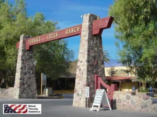 |
U.S. Post Office, 328 Greenland, Death Valley CA 92328 |
Quick Trip to Death Valley National Park!
We've prepared this short, 4-minute video about Death Valley National Park ... sit back and enjoy ... and turn up your volume for some easy-listening music!
Like all YouTube videos, you can click to run it full screen, and mute the music if you like.
More Popular National Parks |
|||
 |
 |
 |
 |
More Information / Alerts about Death Valley National Park
Death Valley National Park official website at the National Park Service or phone 760.786.3200
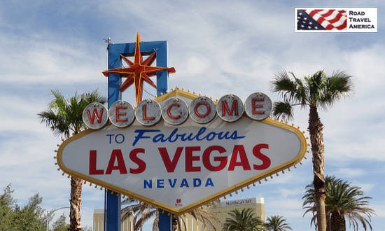
After Death Valley ... Visit Nearby Last Vegas and Hoover Dam
 |

