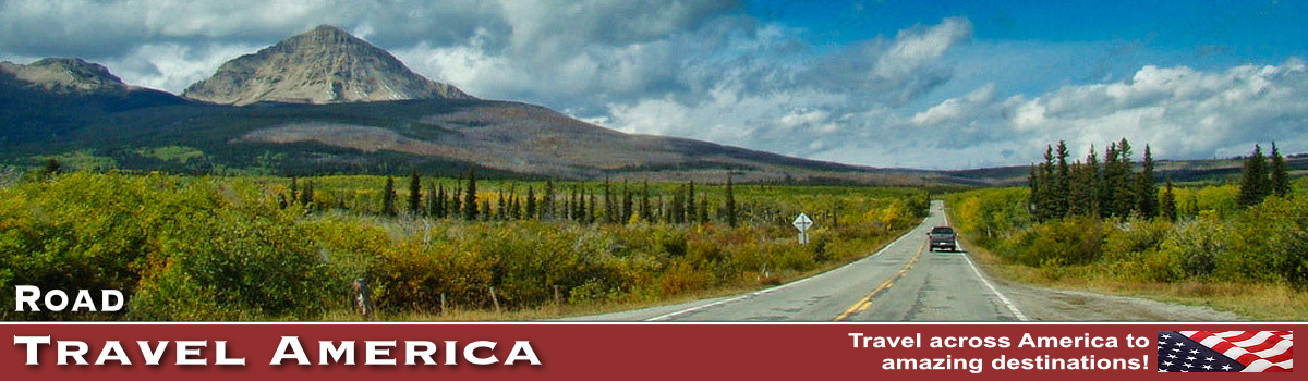
Beartooth Highway in Wyoming and Montana
 Entrance to the Beartooth Scenic Byway in the Custer National Forest Entrance to the Beartooth Scenic Byway in the Custer National Forest |
Travelers to the Yellowstone National Park area often ask "Where is that Beartooth Highway?"
The Beartooth Highway, U.S. Highway 212, is located in Montana and Wyoming, and is considered one of the most scenic drives in the United States. It includes views of the Absaroka and Beartooth Mountains, and open high alpine plateaus.
The 68.7 mile long highway runs from Red Lodge, Montana, to Cooke City near the northeast entrance to Yellowstone Naitonal Park. It passes briefly through the State of Wyoming.
Leaving from the canyon floor in Red Lodge, it is a 25-mile drive to the top of the 10,947-foot pass through the Absaroka-Beartooth mountains. The road then descends into Wyoming, crossing flatter terrain before entering Cooke City and the gate of Yellowstone National Park. It was completed in 1936.
The road was called "the most beautiful drive in America," by the late CBS correspondent Charles Kuralt.
What will I see along the Beartooth?
The Beartooth Highway traverses a series of steep zigzags and switchbacks along the Montana-Wyoming border to the 10,947 ft high Beartooth Pass.The road features glacial lakes, forests, valleys, waterfalls and a variety of wildlife. The highway is the highest elevation highway in Wyoming and Montana, and is the highest elevation highway in the Northern Rockies.
Most roadtrippers travel the length of the highway in about 2-3 hours. Guardrails are in place everywhere, and turnouts are provided for stopping and photo ops. Another interesting point for visitors is crossing the 45th Parallel, the half-way point between the North Pole and the Equator.
Can I drive the Beartooth Highway year-round? What is the weather like?
The Beartooth closes each winter because of heavy snow and adverse winter conditions; it usually reopens around Memorial Day of each year, and remains open till about mid-October, weather permitting. Unpredictable weather conditions may cause temporary closures throughout the summer. At this elevation and latitude, snowstorms can occur even in the middle of the summer, and the pass is also known for strong winds and severe thunderstorms.
 |
Our Trips on the Beartooth
We first drove the Beartooth Highway eastbound out of Yellowstone National Park. In another year, after visiting Cody and Red Lodge, we made the trek up the Beartooth westbound into the northeast entrance of Yellowstone. And we have made more trips since!
We found the drive to be scenic, and invigorating, but not intimidating. We look forward to our next trip on the Beartooth!
| Rock Creek Vista Point on the Beartooth Highway, elevation 9,190 feet | |
 |
 |
Map of the switchbacks on the Beartooth Highway (Courtesy of Montana DOT)

Climbing along the tundra on the Beartooth Highway |

| The Beartooth Highway Summit ... Elevation 10,947 feet above sea level |
 |
Leaving Montana heading westbound on the Beartooth Highway

| Distant vistas along the Beartooth Highway |
 |
| Beartooth Mountain in the distance, with the namesake chisel-shaped "bear's tooth" towering overhead |
 |
| The Beartooth Highway switching states, from Montana to Wyoming! | |
 |
 |
YouTube Video ... Beartooth Highway Clearing
Interactive Map of the Beartooth Highway Area
More Information about the Beartooth Highway
Beartooth Highway Status and Opening Reports from Montana.gov