
Shenandoah National Park and Skyline Drive
Shenandoah National Park is located in the Blue Ridge Mountains in the State of Virginia. The park is linear in nature, mostly in a north to south orientation. On the west side of the park is the Shenandoah River and Shenandoah Valley. The Virginia Piedmont lies to the east of the park. This is a great travel destination for your 2025 vacation!
 Entering Shenandoah National Park on the Skyline Drive Entering Shenandoah National Park on the Skyline Drive |
The highest peak in the park is the 4,051 foot Hawksbill Mountain.
A premier destination in the park is Skyline Drive, running 105 miles along a dominant ridge in the mountains. The two-lane road begins in the north at Front Royal, and ends at the interchange with U.S. 250 near I-64, the starting point of the Blue Ridge Parkway.
Skyline Drive features 75 overlooks, and offers access to campgrounds, visitor centers, resorts and trails, including the Appalachian Trail. It is designated a National Scenic Byway.
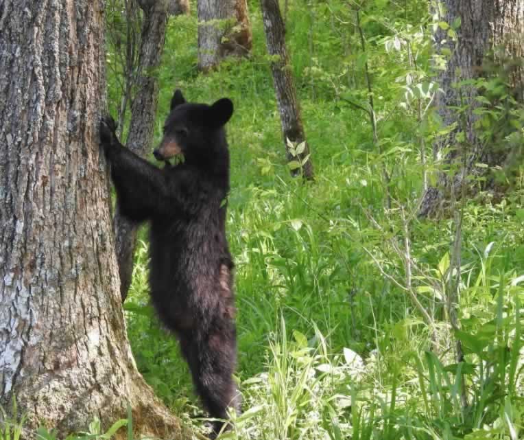
Wildlife abounds in the park, including deer, black bear, turkeys and many species of birds and butterflies.
Shenandoah National Park is always open, during normal times. However, portions of Skyline Drive, the only public road through the park, are periodically closed during inclement weather. Visitors may still enter the park on foot to hike even when the drive is closed.
Most facilities in the park, including visitor centers, lodging and dining, campgrounds, and picnic grounds begin opening in March and close by late November.
Spend a day, or more, and enjoy and explore Shenandoah National Park, and take a slow ride on Skyline Drive. We have driven the entire length of the Drive several times over the years ... it is a highly recommend road trip in 2025!
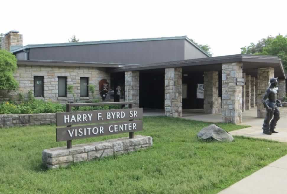
| The Harry F. Byrd Sr. Visitor Center located near Milepost 50 on Skyline Drive |
 |
 |
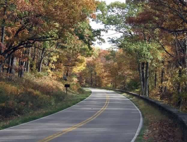
| Autumn is a popular time to drive Skyline Drive in Virginia and view spectacular fall foliage |
 |
Accessing Skyline Drive
 The North Entrance to Skyline Drive, near Front Royal, Virginia The North Entrance to Skyline Drive, near Front Royal, Virginia |
There are four entrance points to Skyline Drive:
- US 340 near I-66 in Front Royal
- US 211 in Thornton Gap
- US 33 in Swift Run Gap
- US 250 near I-64 in Rockfish Gap
The speed limit on Skyline Drive is 35mph. An entrance fee to the park is charged.
Numbered concrete mileposts on located on the west side of Skyline Drive, and numbered north to south.
The Dickey Ridge Visitor Center is located just south of the north entrance at Front Royal, at milepost 5. The Byrd Visitor Center is roughly half-way down the Skyline, near milepost 50.
Popular stops along the way include Mathews Arm, Skyland, Big Meadows, Lewis Mountain, South River and Loft Mountain.
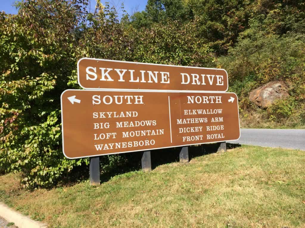
| The Thornton Gap Entrance to Shenandoah National Park |
 |
| Skyline Drive directions to north and south destinations from the Thornton Gap Entrance |
 |
Lodging Options In/Near Shenandoah National Park & Skyline Drive
Shenandoah National Park Lodging Charlottesville, Virginia Lodging |
Lodging in the park includes the following:
- Big Meadows Lodge - 25 rooms in the main lodge, 71 additional rooms in rustic cabins, multi-unit lodges, and suites (Milepost 51)
- Skyland - 179 guest rooms, rustic cabins, multi-unit lodges and modern suites (Milepost 41.7)
- Lewis Mountain Cabins - offers several rustic, furnished cabins with private baths and outdoor grill areas
- Potomac Appalachian Trail Club (PATC) Cabins - 6 locked, primitive cabins
Be sure to check the status of lodging facilities, as most are open only from March to late November.
Five campgrounds are provided in the park:
- Mathews Arm Campground (Milepost 22.1)
- Big Meadows Campground (Milepost 51.2)
- Lewis Mountain Campground (Milepost 57.5)
- Loft Mountain Campground (Milepost 79.5)
- Dundo Group Campground
Lodging is available in numerous cities and towns along the Parkway in Virginia and North Carolina. Visitors can choose from upscale hotels, B&Bs, inns, cabins, campgrounds, RV parks and lodges.
In addition, eight campgrounds are open from May through October along the Parkway.
Included below is just a small sampling of lodging options and locations ... there are many more!
Scenes Along Skyline Drive in Shenandoah National Park
| Breathtaking overlook to the horizon, on Skyline Drive in Shenandoah National Park |
 |
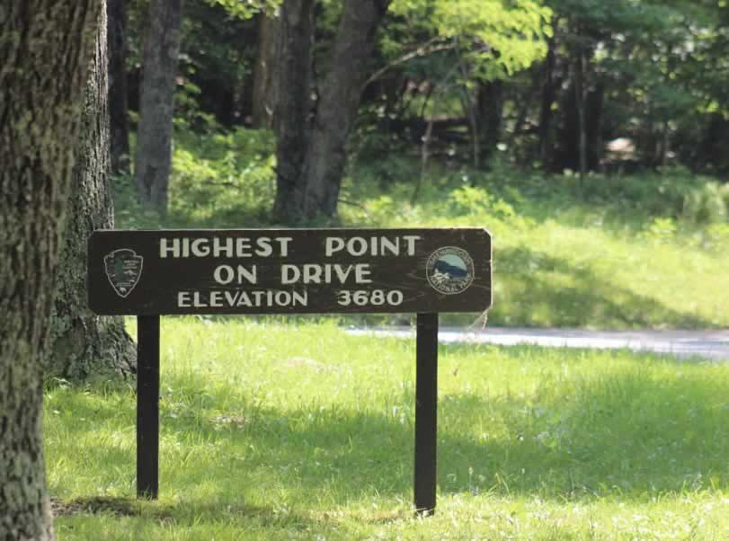
| Highest point on Skyline Drive ... Elevation 3,680 feet |
 |
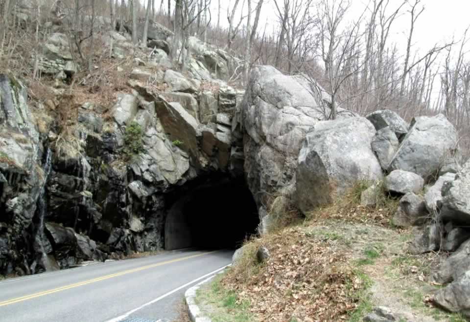
| Marys Rock Tunnel on Skyline Drive, near Milepost 33 |
 |
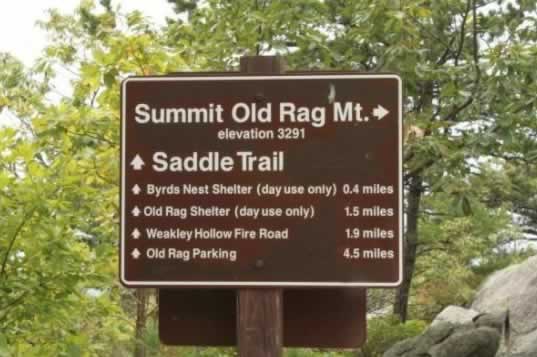
| Summit Old Rag Mountain ... Elevation 3,291 feet ... Near Milepost 45 |
 |
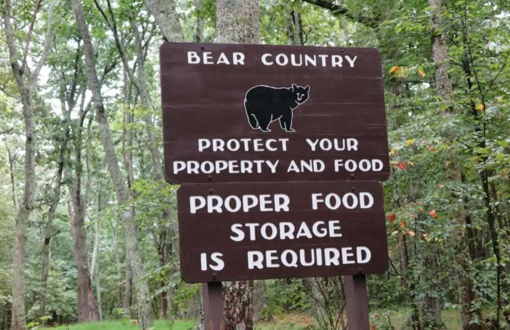
| Shenandoah National Park is Bear Country! Protect your property and food |
 |
| A black bear sighting, common in Shenandoah National Park in Virginia |
 |
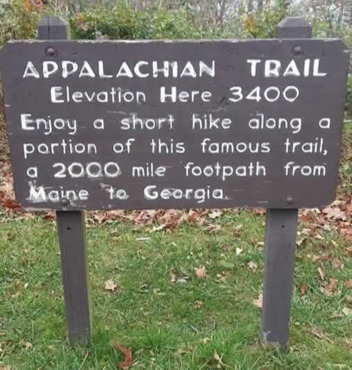
| The Appalachian Trail, the 2,000 mile footpath from Maine to Georgia |
 |
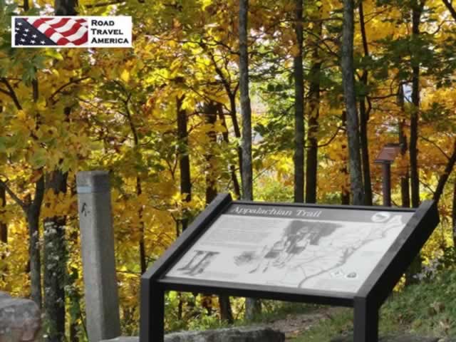
| The Appalachian Trail along Skyline Drive in Shenandoah National Park |
 |
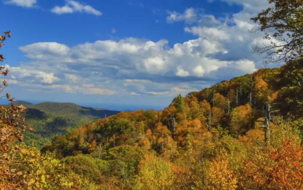
| Fall foliage for miles and miles in Virginia, in Shenandoah National Park |
 |
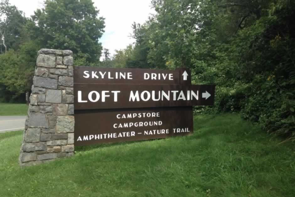
| Sign in the Loft Mountain area along Skyline Drive ... campstore, campground, amphitheater and nature trail |
 |
| Waterfall splashing over moss-covered rocks along Skyline Drive |
 |
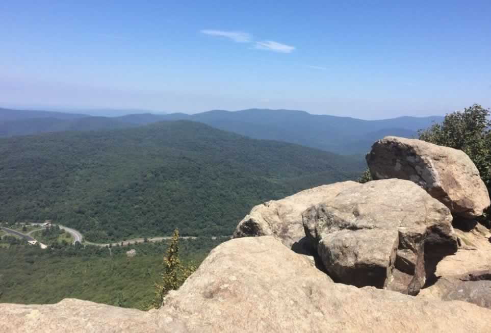
| Overlook on Skyline Drive in Virginia |
 |
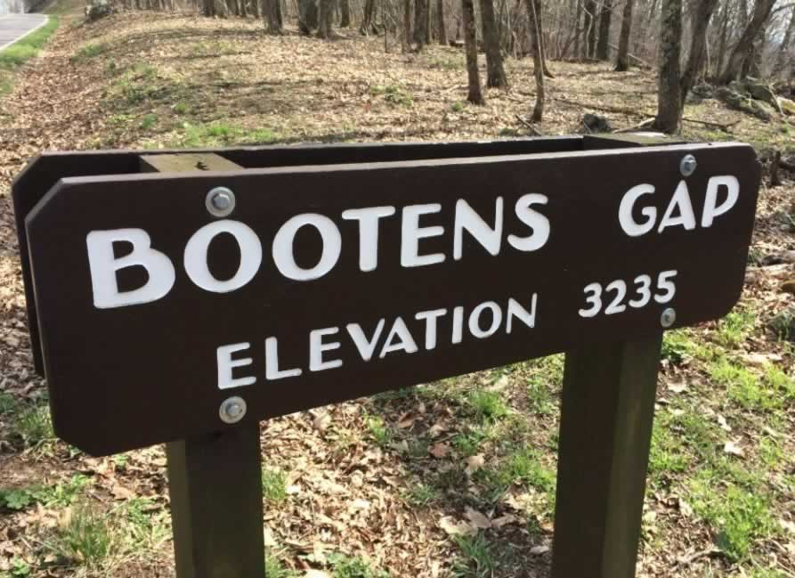
| Bootens Gap on Skyline Drive ... Elevation 3,235 feet ... Milepost 55 |
 |
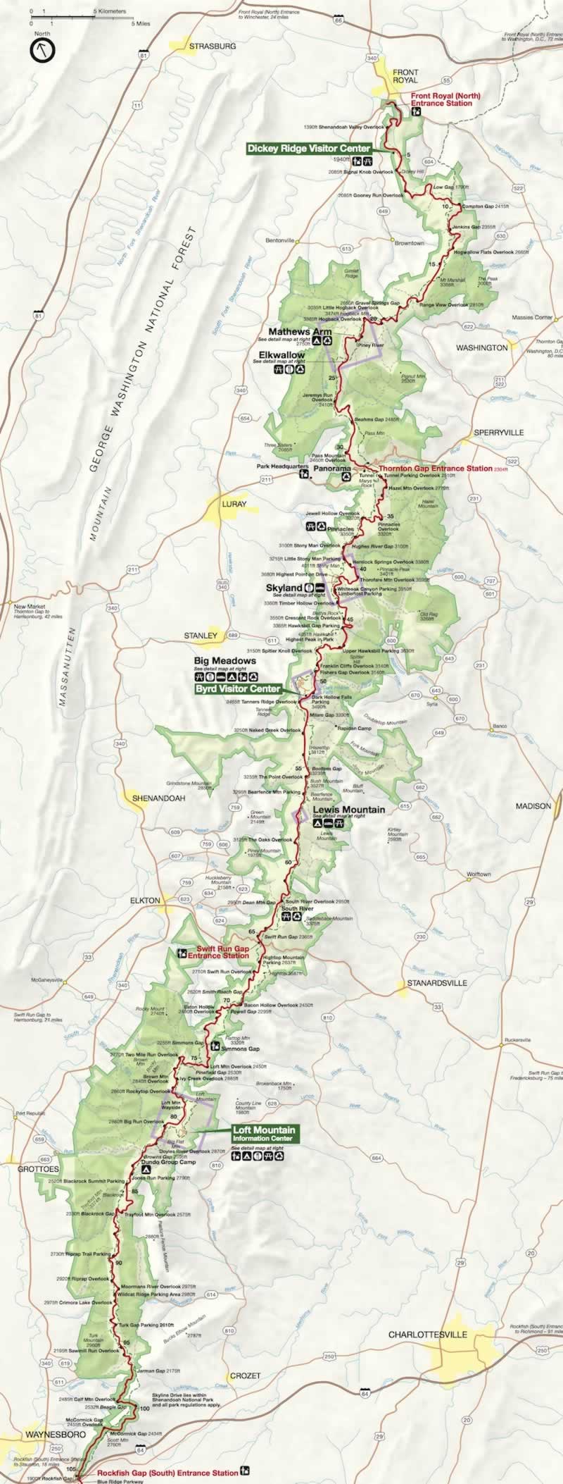
Map of Shenandoah National Park
| Map of Shenandoah National Park in Virginia (Courtesy of the National Park Service) |
 |
Interactive Map of the Shenandoah National Park Area
More Information about Shenandoah National Park
Shenandoah National Park official website at NPS
