Popular Off-Roading Travel Destinations in the USA
Looking for off-road adventures? We've traveled thousands of miles over hundreds of roads in virtually every state in the United States and several provinces in Canada.
Many of those trips have been on rough, dirt roads in the western USA. Some were flat, some down dangerous switchbacks like on the Burr Trail and the Moki Dugway. And we remember those fun 4-wheel adventures in the Smoky Mountains and Louisiana swamps.
It's hard to pick the best, the most scenic, the one with the least traffic, the most challenging one... but here is a recap of some our favorites ... they might be the perfect off-roading adventure for you and your 4-wheel drive Jeep, 4Runner or other high-clearance vehicle!
Top Off-Road Adventures in America
Listed below are some of the more popular offroad trips we have taken, and that our viewers have said they enjoyed.
Moab and Arches National Park in Utah
The Moab area’s beauty, history, and, hundreds of miles of old mining roads and 4-wheel drive trails make it a place that will never be forgotten. Visitors can bring their own vehicle, rent a jeep, or take a tour with one of Moab’s experienced & permitted guides. Moab has a full range of backcountry trails, from easy 2-wheel drive backcountry scenic drives to the ultimate in challenging 4-wheel drive trails, providing an opportunity for all to experience the beauty and solitude of a backcountry adventure. Arches National Park is located near the city of Moab. The park has over 2,000 natural stone arches, in addition to hundreds of soaring pinnacles, massive fins and giant balanced rocks. The park features the densest concentration of natural stone arches in the world, including the popular "Delicate Arch". It covers 76,518 acres and contains an astounding variety of geological formations. A paved scenic drive takes visitors to many of the major viewpoints within the park. Hikers can choose from a wide variety of trails, from short twenty minute walks leading right up to many of the largest arches in the park, to more adventurous hikes into lesser seen areas. Read more about Moab and Arches National Park |
|
Sedona, Arizona
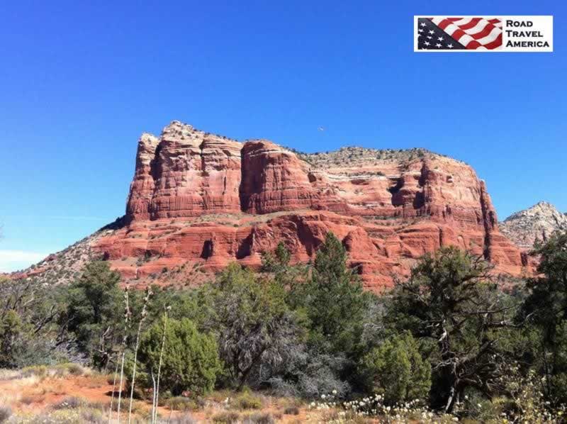
From viewing the spectacular natural beauty of the red rocks to fascinating archeological, geological and historical attractions, Sedona is considered a premiere destination by millions. Sedona is a paradise for outdoor enthusiasts. Visitors can take a hike or a bike ride or perhaps just enjoy a beautiful sunset. Visit the Arizona high country to life with a rugged, off-road adventure. Broken Arrow trail is where famous westerns were filmed. Experience Sedona’s native archaeological adventure. Explore the Honanki Heritage site, where the indigenous Sinagua people lived and worked between 600 AD until the 1400s. Adventurers may see Sedona from the back of a jeep, atop horseback or from a hot air balloon or a helicopter. The choice is yours! Read more about Sedona |
|
Page, ArizonaPage is located 5.5 hours north of Phoenix, and 2.5 hours north of Flagstaff. It is the center of the world-renowned Grand Circle - a remarkable collection of parks, monuments, historical sites, and prehistoric Indian ruins. Page is surrounded by geological formations that are iconic in the American West. The Grand Circle is a beautiful, vast region encompassing portions of five states: Arizona, New Mexico, Colorado, Utah and Nevada. It contains America’s largest concentration of national parks and monuments, woven together by extraordinary designated Scenic Byways. Page is just a 2-3 hour drive from several popular parks:
One of the more popular venues is Antelope Canyon, just east of Page on State Highway 98. It includes two separate, scenic slot canyon sections, referred to as Upper Antelope Canyon (or The Crack), and Lower Antelope Canyon (or The Corkscrew). Horseshoe Bend is a horseshoe-shaped incised meander of the Colorado River, located about 4 miles south of Page on U.S. Highway 89. The hike from the parking lot to the overlook is about .6 miles one-way. From the overlook, the canyon wall drops about 1,000 feet down to the Colorado River. Read more about Page and Northern Arizona |
|
Burr Trail from Boulder to Bullfrog, UtahThe Burr Trail, which ends (or begins) at Boulder, Utah, is one of our favorite back roads in the country. We have driven it several times, sometimes in a 4x4 Jeep, other times in a 2WD Toyota 4Runner. It is typically quiet, with little or no traffic. In earlier years the entire length of the road was dirt; today parts are paved. The drive and views are stunning! The switchbacks are breathtaking! The road which connects Boulder with Bullfrog, and passes through the painted rock country of Glen Canyon National Recreation Area, Capitol Reef National Park, and Grand Staircase-Escalante National Monument land is known as the Burr Trail. The Burr Trail takes the adventurous traveler into some of Utah's most beautiful and extraordinary country, with views of the Henry Mountains, the colorfully contorted Waterpocket Fold, red Circle Cliffs, and Long Canyon. Read more about the Burr Trail Scenic Backway |
|
The Moki Dugway in UtahThe Moki Dugway is a steep, gravel three mile road located in southeastern Utah, traversing 1,200 feet from the top of Cedar Mesa to the broad valley below. The road is actually part of Utah Highway 261, most of which is paved. Utah 261 is part of the Trail of Ancients, a National Scenic Byway that stretches across 480 miles through Colorado and Utah. The highway connects Utah Highway 95 with US Highway 163 by crossing Cedar Mesa and plunging down the dugway at an 10% grade, revealing sweeping views of Valley of the Gods, stripes of color in the rocks of the San Juan River Canyon known as the Navajo Tapestry, and distant Monument Valley. Allow 1 hour travel time for the entire length of Utah Highway 261. The gravel section of 261, the Moki Dugway, is well maintained and open all year, but road closures can occur, so be sure to check conditions before traveling to this area. During and after a rain or snow storm, the road may be impassable, even with a four-wheel-drive vehicle and can easily get muddy if it rains making it challenging to get through. Read more about the Moki Dugway |
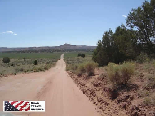
The Dirt Road to Grosvenor Arch in Utah (staff photo)
 |
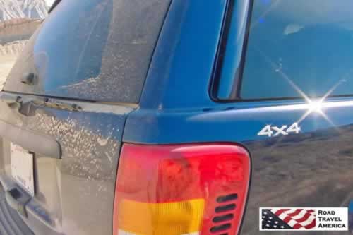
Dusty day in the Jeep 4x4 on the Burr Trail (staff photo)

The James Dalton HighwayThe James W. Dalton Highway is a rough, industrial road that begins 84 miles (134 km) north of Fairbanks and ends 414 miles (662 km) later in Deadhorse, the industrial camp at Prudhoe Bay. The highway, which parallels the Alaska Pipeline, is one of the most isolated roads in the United States. Initially, the highway was called the Haul Road because almost everything supporting pipeline construction and oil development was hauled on tractor-trailer rigs to its final destination. The Haul Road was completed in just five months and the pipeline in three years (1974-77). In 1981, the State of Alaska named the highway after James W. Dalton, a lifelong Alaskan and expert in arctic engineering who was involved in early oil exploration efforts on the North Slope. It is numbered as Alaska Highway 11. The road is narrow, has soft shoulders, high embankments,and steep hills. There are lengthy stretches of gravel surface with sharp rocks, potholes, washboard, and, depending on the weather, clouds of dust or slick mud. Watch out for dangerous curves and loose gravel, especially between Livengood and the Yukon River (MP 0-56). |
Other Scenic Roads and Highways
Driving the narrow passage between towering rocks in Titus Canyon Road in Death Valley National Park
Beartooth Highway in Montana and Wyoming
Blue Ridge Parkway in Virginia and North Carolina
Going to the Sun Road in Montana
Loneliest Road in America: U.S. 50 Across Nevada


